
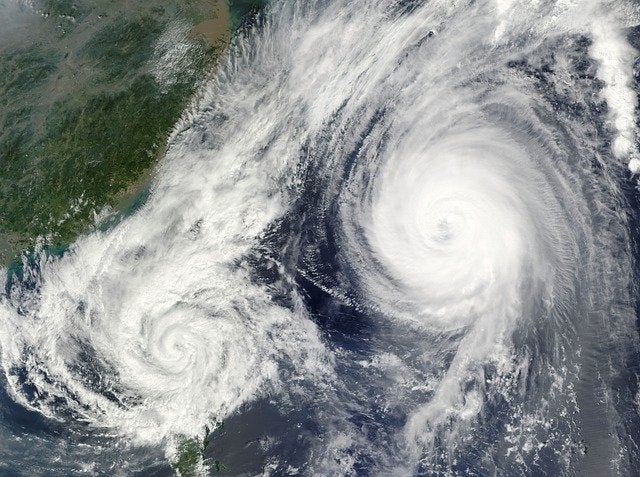
US-based data analytics provider Verisk said that it is working with aerial imagery and geospatial data provider Vexcel Data Program to assist insurers to expedite their response to property damage caused by Hurricane Ian.
In this regard, the disaster imagery from Vexcel is said to be integrated into Verisk’s Respond MAP platform. Respond MAP provides five-day hurricane wind forecasts and uses geospatial technology, artificial intelligence, and property and claims data to analyse the damage.
With the interactive platform, insurers can identify the damaged properties, estimate the degree of damage, and organise on-site inspections, said Verisk.
Verisk claims solutions president Maroun Mourad said: “Recovering from the enormous destruction of Hurricane Ian will be a long journey.
“But with pre- and post-hurricane aerial imagery from Vexcel and our advanced geospatial and property analytics, we’re able to help insurers identify damage, connect with victims, and begin the road to recovery.”
Verisk delivers solutions to help insurers address catastrophe risks. Its solutions come with address-specific analytics to help insurers underwrite properties, extreme event models and estimates of losses to help manage both the accumulation and transfer of risk, as well as claims management.
The data analytics provider said that its solutions can help fight fraud and fast track payments, while providing computer software for professionals engaged in estimating all phases of constructing and repair.
Vexcel is said to be using multiple fixed-wing aircraft equipped with cameras to gather high-resolution aerial imagery, on behalf of its partner Geospatial Insurance Consortium (GIC).
Vexcel Group CEO Erik Jorgensen said: “The damage from Hurricane Ian is vast, but can vary significantly by property. Our high-definition aerial imagery and world-class processing pipeline is helping Verisk provide real-time analytics to help guide and streamline the response of insurers to this catastrophe.”